The 2007 Peru earthquake, which struck with a magnitude of 8.0, occurred on August 15 at 23:40:57 UTC (18:40:57 local time) and lasted for two minutes.
The quake’s epicenter was situated 150 km south-southeast of Lima, at a depth of 39 km. The disaster resulted in at least 595 fatalities and over 2,290 injuries.
This earthquake took place along the boundary between the Nazca and South American tectonic plates, which are converging at a rate of 78 mm per year.
It was caused by thrust faulting where the South American Plate moved upward and seaward over the Nazca Plate.
Such earthquakes typically occur roughly once every century. The event was rated at a maximum Modified Mercalli intensity of XI (Extreme) in two locations along the Pan-American Highway, which experienced severe damage 30 km and 190 km from the epicenter, respectively, and MMI IX (Violent) in the Pisco-Chincha Alta region.
The coastal region of Peru has experienced several significant earthquakes in the past. The August 15 earthquake originated near the sites of two other major quakes, one in 1908 and another in 1974, both of which were also in the magnitude 8 range.
It occurred south of a magnitude 8.2 earthquake from 1966 and north of a magnitude 8.4 earthquake in 2001.
The most powerful earthquake in the region’s history was a magnitude 9 quake in 1868 in Arica, which generated a tsunami causing thousands of deaths along the Peruvian coast and damage in Hawaii.
Cities heavily impacted by the quake included Pisco, Ica, Chincha Alta in the Ica Region, and San Vicente de Cañete in the Lima Region. Lima and other cities, such as Pucallpa, Iquitos, Contamana, Trujillo, and Cajamarca, also felt the tremor.
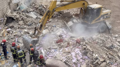
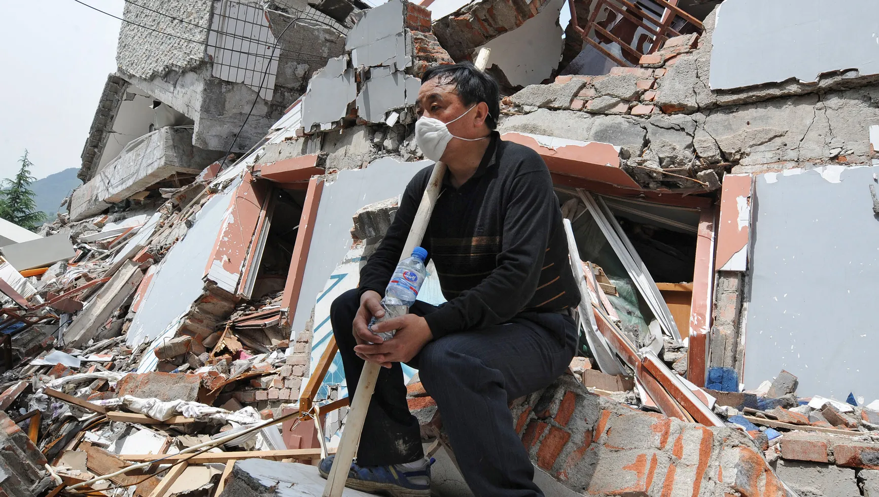
In Pisco, located 260 km southeast of Lima, the damage was severe with about 85% of buildings destroyed, resulting in up to 430 deaths, including 148 from the collapse of the cathedral in the main square.